

The Rivertown Trail is a multi-use greenway that extends from Angel Mounds State Historic Site to the new Locks & Dam Park along the Ohio River Scenic Byway. It travels right through the heart of downtown
Newburgh along its riverfront, with restaurants and coffee shops along the way and a farmers’ market on Saturdays. The trail includes trailheads, interpretive signage, and attractive landscaping.
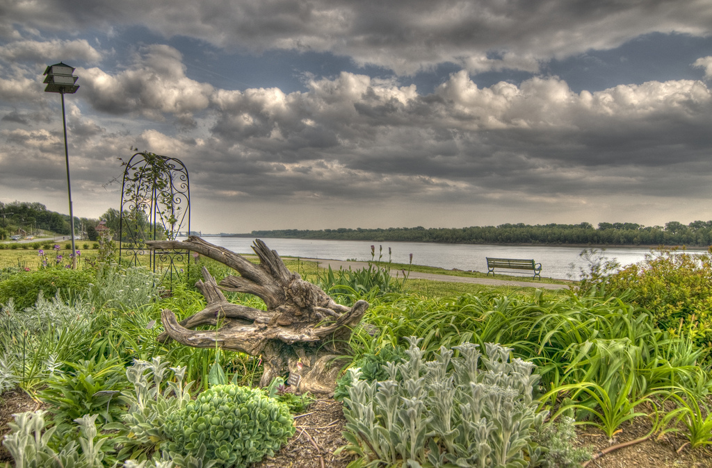
There is a spur off the trail up Indian Hill to Overlook Park, providing a great view of the locks and dam. A unique feature of this trail is that at some parts it makes use of a city street, which has
been converted to accommodate one-lane, one-way traffic on half the road while walkers and bicyclists use the other half.
Phase 1 of the Rivertown Trail was completed and dedicated in November 2010. It is slightly more than one mile in length and extends from the B. Gene Aurand Trailhead at Indiana 662 and Yorkshire Drive to the Old Lock & Dam Park on French Island Trail. The late Gene Aurand was an early leader in getting the trail completed.
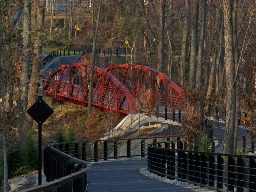
As you travel south from the trailhead, you cross the recently rehabilitated Warrick County Historic Bridge No. 264. The bridge, constructed circa 1920, is an addition to the trail crossing the “great ravine.” The bridge’s extreme makeover included reassembling, sandblasting, painting and planking, all following strict historical restoration standards.
Each year the town hosts a 5K race that uses the trail as a substantial part of the course. The Evansville Greenway will eventually connect with the Rivertown Trail at Angel Mounds.